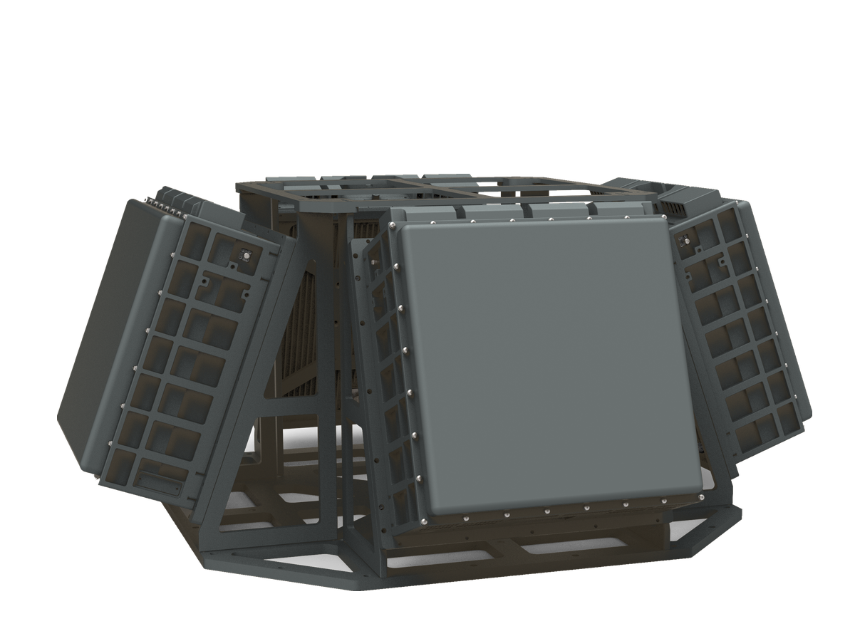
CR-PX07B — X-Band Medium-Range Pulse-Doppler Phased Array Radar
5 km-class X-band radar for wider perimeters and deeper warning time, suitable for ports, substations, industrial parks, and airport auxiliary zones.
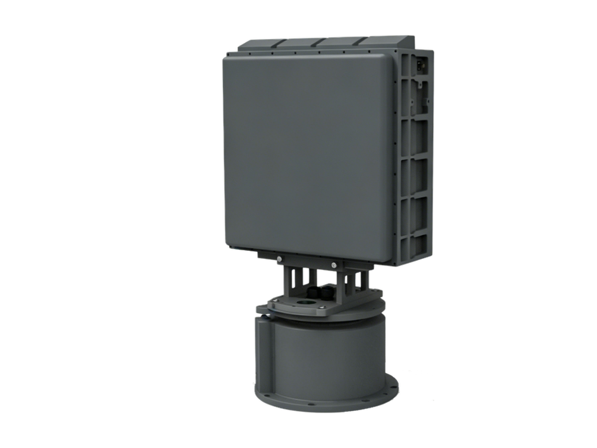
The CR-PX07 series X-band medium-range phased array radar employs a fully solid-state, fully coherent, pulse-Doppler architecture for all-weather detection and early warning of "Low-Small-Slow" targets. AI classification based on micro-Doppler and track features enables effective detection and classification of UAVs, light aircraft, helicopters, and other targets at extremely low false-alarm rates. Expandable to mechanical + phase-scan and multi-panel configurations.
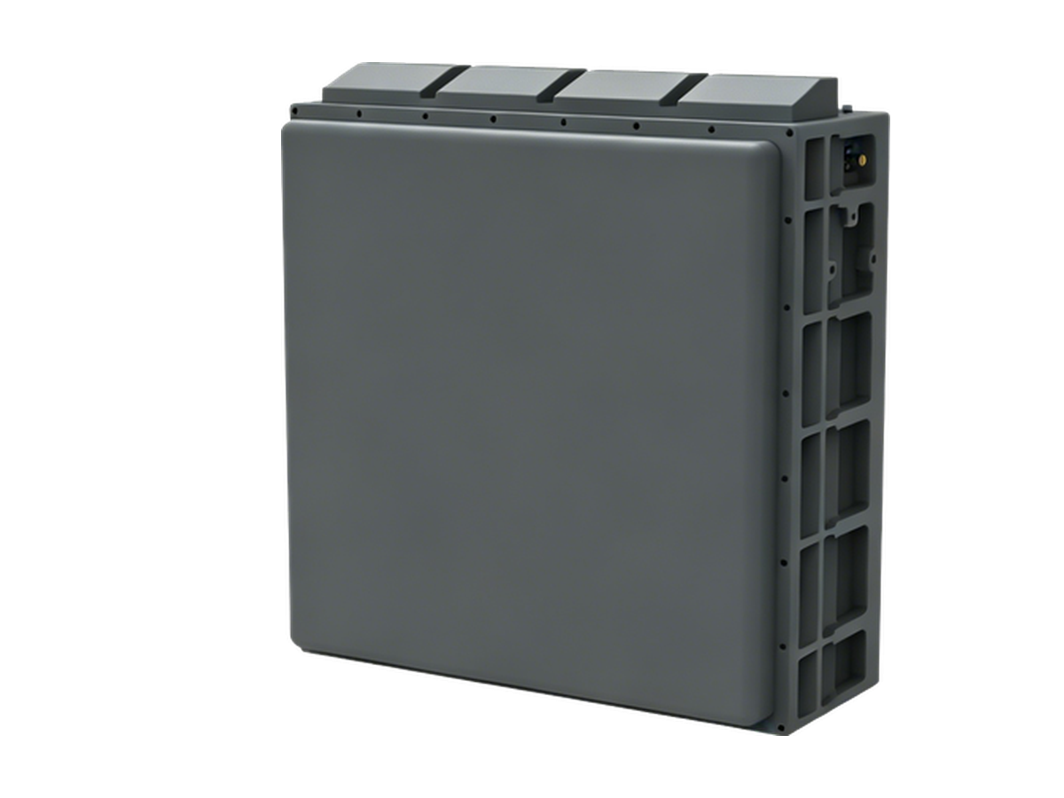
Single-Panel Option for Fixed-Angle Detection
Need to watch a fixed sector rather than scan 360°? The same array is available without the turntable as the CR-PX07A: a 13kg single-panel unit covering a ±45° azimuth sector (elevation 0°~30°, configurable to 60°) with a 5km drone detection range — ideal for fixed-angle detection on walls, poles and rooftops. Use the inquiry form for the single-panel datasheet.
Key Features
Detection & Coverage
- Strong detection performance with a low false alarm rate; stably detects maneuvering drones;
- Rain and cloud clutter suppression enables all-weather operation;
- Mechanical scanning combined with 2D electronic scanning covers the full 360° airspace and priority sectors;
- Elevation coverage, target update rate and instrumented range are software-configurable.
Tracking & Classification
- Mechanical-scan tracking and electronic-scan TAS tracking;
- AI classification based on micro-Doppler and track features identifies drones, birds, people and vehicles;
- Map-based target positioning, track display and replay with range, azimuth, elevation and velocity readouts.
Data & Operation
- Records and stores target plots, tracks and radar status data with replay and query support;
- Machine learning adapts to the environment — powers on and works with no parameter tuning;
- Self-positioning and orientation with automatic pitch and roll compensation;
- Real-time operating status monitoring.
Specifications
| Frequency band | X band (9.2GHz ~ 9.8GHz) |
| Detection range | ≥5km (RCS 0.01m², drone) |
| Blind zone | ≤150m |
| Operating mode | Mechanical scan + 2D electronic scan |
| Search coverage | Mechanical: azimuth 0°~360° Elevation 0°~80° (mission configurable) Electronic: azimuth -45°~45° Elevation 0°~80° (mission configurable) |
| Tracking | Mechanical-scan tracking / electronic-scan TAS |
| TAS tracked targets | ≥6 |
| Minimum detection altitude | ≤10m |
| Velocity range | 1m/s ~ 100m/s |
| Update rate | Mechanical ≤3.2s Electronic ≤3s (elevation coverage 30°, range 7.5km) |
| Resolution | Range ≤15m Azimuth ≤6° Elevation ≤6° |
| Search accuracy (RMS) | Range ≤10m Azimuth ≤0.4° Elevation ≤0.5° |
| Tracking accuracy (RMS) | Range ≤10m Azimuth ≤0.3° Elevation ≤0.4° |
| Target capacity | ≥500 targets |
| Communication | RJ45 Ethernet |
| Power supply | AC220V / DC24V |
| Power consumption | ≤350W |
| Weight | ≤26kg (excl. power supply and tripod) |
| Dimensions | ≤575 × 317 × 220mm |
| Operating temperature | -40℃ ~ +70℃ |
| Protection rating | IP66 |
Standard Delivery
| Radar array | 1 Unit |
| Servo turntable | 1 Set |
| AC/DC power adapter | 1 Set |
| Ethernet cable | 1 PC |
| GPS antenna (with cable) | 1 Pair |
| Mounting accessories | 1 Set |
| Product certificate | 1 Copy |
| Operation & maintenance manual | 1 Copy |
| Display & control software and communication protocol | 1 Set |
Packing & Logistics
The complete set is packed in 2 cartons with a total gross weight of approximately 46kg.
| No. | Contents | Carton dimensions (L×W×H, mm) | Gross weight |
|---|---|---|---|
| 1 | Radar host (array and servo turntable) | 775 × 440 × 245 | ≈28kg |
| 2 | Power adapter, cables and accessories | 490 × 350 × 320 | ≈18kg |